
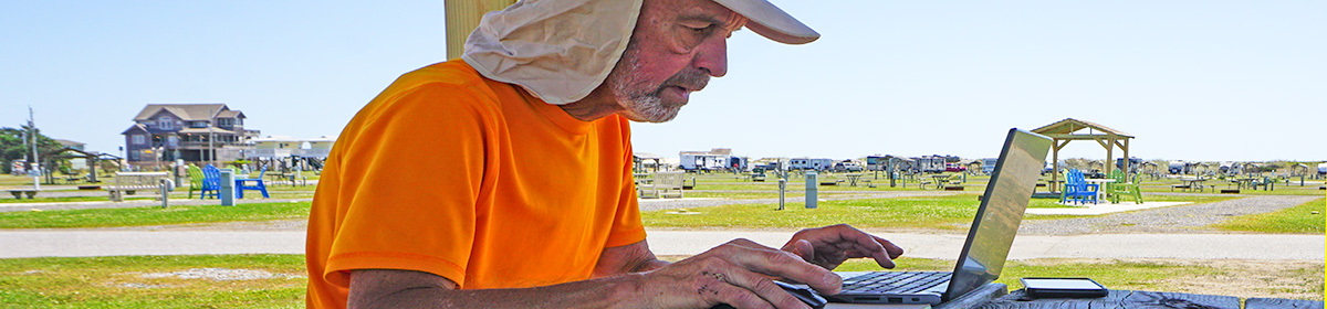
I felt it was time we talked. That is, some of you may be curious as to how I’m doing this, day in and day out. This happens entirely on an elegantly designed self-propelled vehicle weighed down by some equipment. Today, we’ll just cover two items; the bike and where to go.
The Bike and Me
I’m about 145 lbs and carrying about 50-lbs of stuff in 5 separate bags that is everything in the world to me while I’m out here. It was my decision to also include camping equipment and cameras – things I think make the trip more memorable at the expense of their weight.
The bike itself is 22 lbs and is a custom-built Seven Cycles model called the Expat S. The frame is titanium, the fork is carbon and the handle bars and wheels are aluminum. Most of the 50 lb weight I’m carrying is distributed in the rear of the bike on a strong aluminum rack system. There are two Iberia pannier bags that hang on the sides and one commuter case on top of the rack. I’ve upgraded my tires since starting this trip in the Keys to super-durable Continental Touring 37c tires – probably the best technical move I’ve made on this trip.
One pannier contains two plastic shopping bags – one bag has my cycling clothes and the other all my casual clothes. Each has a minimal amount of clothes for 2 or 3 days. The other pannier has camping equipment and some backup cycling tools and parts.
The commuter case that sits in top of the rack contains all my electronics and camera gear. Also, it carries my money, ID, energy food, toiletries and few other things. It’s also great to use for going shopping or going into town as a place I can stash stuff.
There’s also a top-tube bar bag in the middle of the bike with a basic cycling repair kit for flats, wrenches and a cable and lock system to secure the bike when I leave it in public. Hanging off the handle bars in front is my ultra-light 2-man tent, weighing in at about 5 lbs.
Riding this type of bike, fully loaded, is a new experience. It is very easy to tip to a side and bring the bike and me quickly to the ground. I learned that quickly the first few days. This usually happens when stopping or starting to roll. Once you get the bike rolling its an amazingly solid balance and even tank-like when going down the highway. I’ve learned that even in wind, it usually holds a steady course. Of course, working the margins of a shoulder or even a traffic lane requires concentration and a steady hand. Quick turns must be avoided. One more thing. Don’t try pedaling standing up – you’ll quickly throw yourself off-balance.
It takes me an hour or more each morning to repack and examine the bike before I set out, between 6:00 to 8:00 a.m. depending on what’s ahead.
In Google I Trust…sometimes
The night before I usually examine the route I’m going to take. For me, the route should be about 60 miles which is my current daily target. That will vary each day depending on the route, the lodging options and how I’m feeling. The specific route is a variation of what Google thinks are bicycle routes to a destination. Just go to http://maps.google.com and you will see between any directional points one and usually more routes suggested. That route becomes my compass for the day.
Right now I view the directions I choose and set out, often with Google maps audio instructions on when to turn, just like you might in a car. One problem at the moment is I do not have earphones so hearing the exact turn is difficult most of the time. Also, know that Google’s verbal instructions are often wrong or lead you to places you wish you never saw – such as deserted gravel roads…
The last problem using the Google maps technique is that it eats up smartphone power like crazy. Within 3 to 4 hours my iPhone 7 is on 10% power warning, at which point I hook up one of my two backup power supplies – an absolute must for this ride In fact, I’m using a solar panel backup for one of the supplies.
In any case, it works as long as you know it takes some fine tweaking. For some out there, you might be wondering why not use a proven course someone else has laid out, like the East Coast Greenway or a GPX Strava/Garmin route? My two points here are that marked trails usually based on maximum safety and community-minded factors that make them inefficient if you want to cover as many miles as as you can in the shortest period of time. And, choosing the best digital route take too long to figure out. For a long distance challenge, the best method is still ad hoc using at least some of the quick and effective wisdom that Google maps offers.
That said, I wasted a couple extra hours yesterday thinking I was following the right course and then realizing that I was going in the wrong direction. But, eventually, the miles go on, I get closer to home and the cycling sausage is made.


Keep us posted Paul. I have a similar aspiration somewhere down the road.
LikeLiked by 1 person
You didn’t mention where you keep your cape ?! Inspiring
LikeLike